Castle Donnington, Wash Lands to the A50
This is the section downstream of West Meadow towards the A50 and Shardlow.
Access is either from the car park for West Meadow or along the bank from the A50 Bridge.
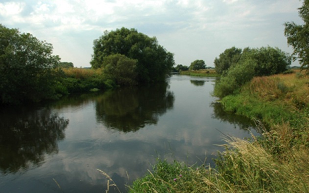
Top end of the Wash Lands section
The first couple of fields the river runs fairly steady before it narrows and deepens opposite a line of willows on the far bank a good area for chub and barbel. There’s then a fast wide gravel bend and the next 400 yards continue fast and shallow towards the A50.
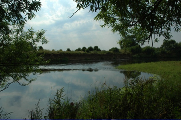
Approximately 400 yards above the A50 Bridge the river narrows and deepens before flowing under the bridge and on to a gravel riffle just above an island. There are some good pegs either side the bridge producing roach and dace during the summer and the peg almost under the bridge is noted for perch.
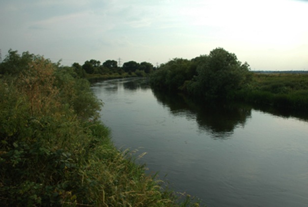
Upstream of the A50
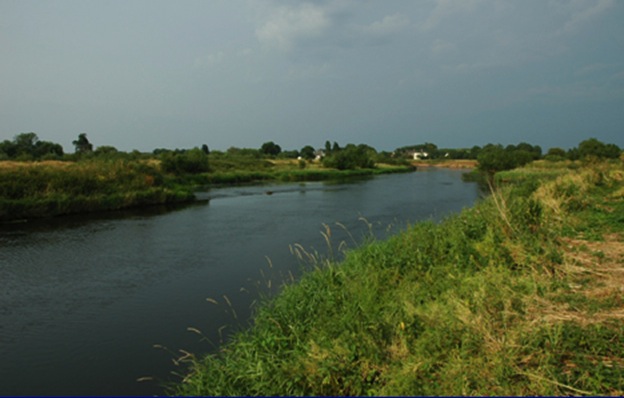
Downstream of the A50 looking towards the Crown Bend Section.
To see more images from this location, select 'Castle Donnington Wash Lands Images' from the menu.
This is the section downstream of West Meadow towards the A50 and Shardlow.
Access is either from the car park for West Meadow or along the bank from the A50 Bridge.
Top end of the Wash Lands section
The first couple of fields the river runs fairly steady before it narrows and deepens opposite a line of willows on the far bank a good area for chub and barbel. There’s then a fast wide gravel bend and the next 400 yards continue fast and shallow towards the A50.
Approximately 400 yards above the A50 Bridge the river narrows and deepens before flowing under the bridge and on to a gravel riffle just above an island. There are some good pegs either side the bridge producing roach and dace during the summer and the peg almost under the bridge is noted for perch.
Upstream of the A50
Downstream of the A50 looking towards the Crown Bend Section.
To see more images from this location, select 'Castle Donnington Wash Lands Images' from the menu.